


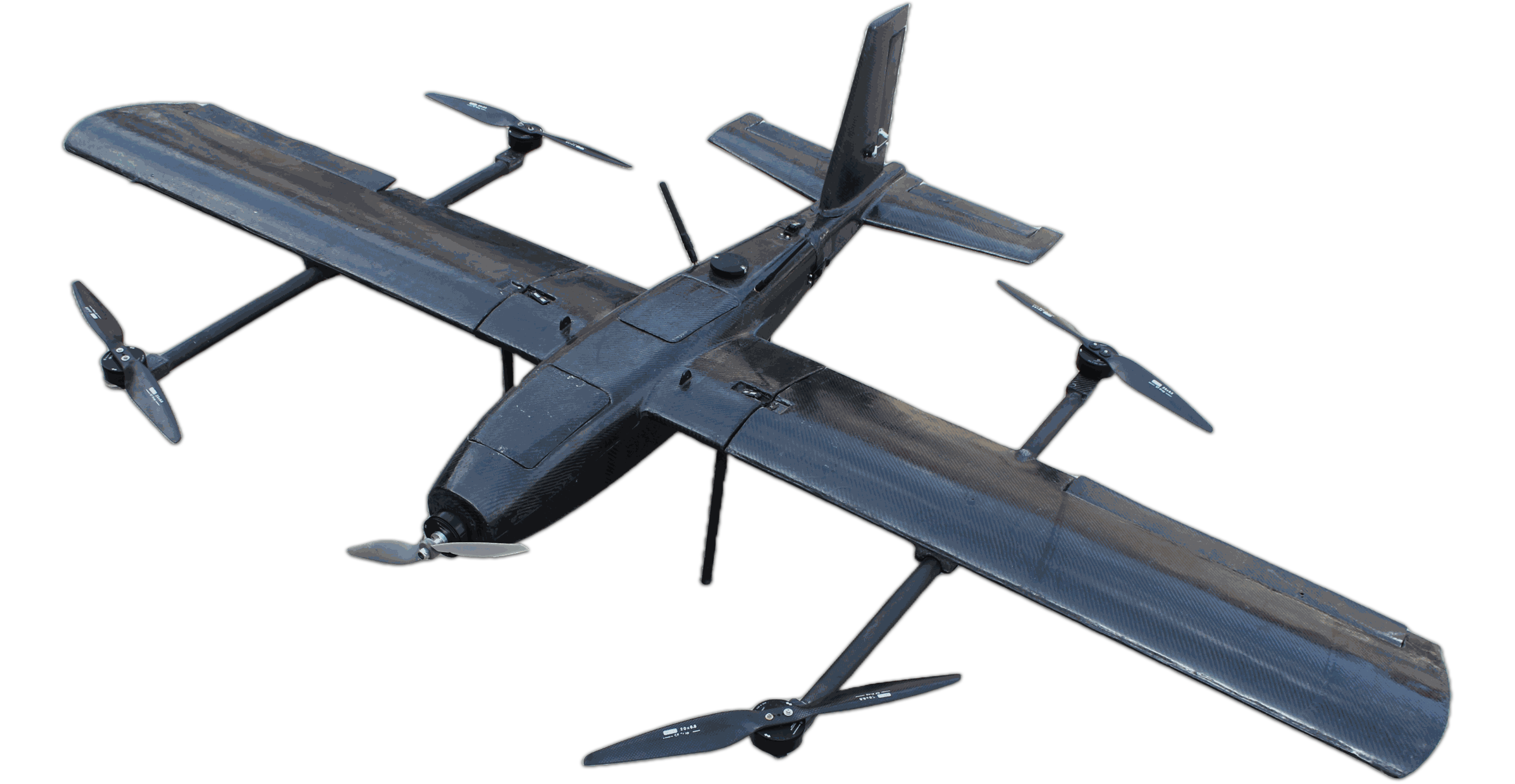
Endurance: Approx 60 minutes
Payload: 1kg
Range : Approx 60km
Ceiling : 5000 meters AMSL
Mission: Designed for cost-effective aerial target simulation and defense training missions.
View DetailsDesigning and manufacturing UAV platforms, propulsion, avionics, navigation and communication systems in India.
Data acquisition & processing, providing high standards analytics to gain insights into the data. Enhancing the quality of decision making and implementation of the project on the field using Drones
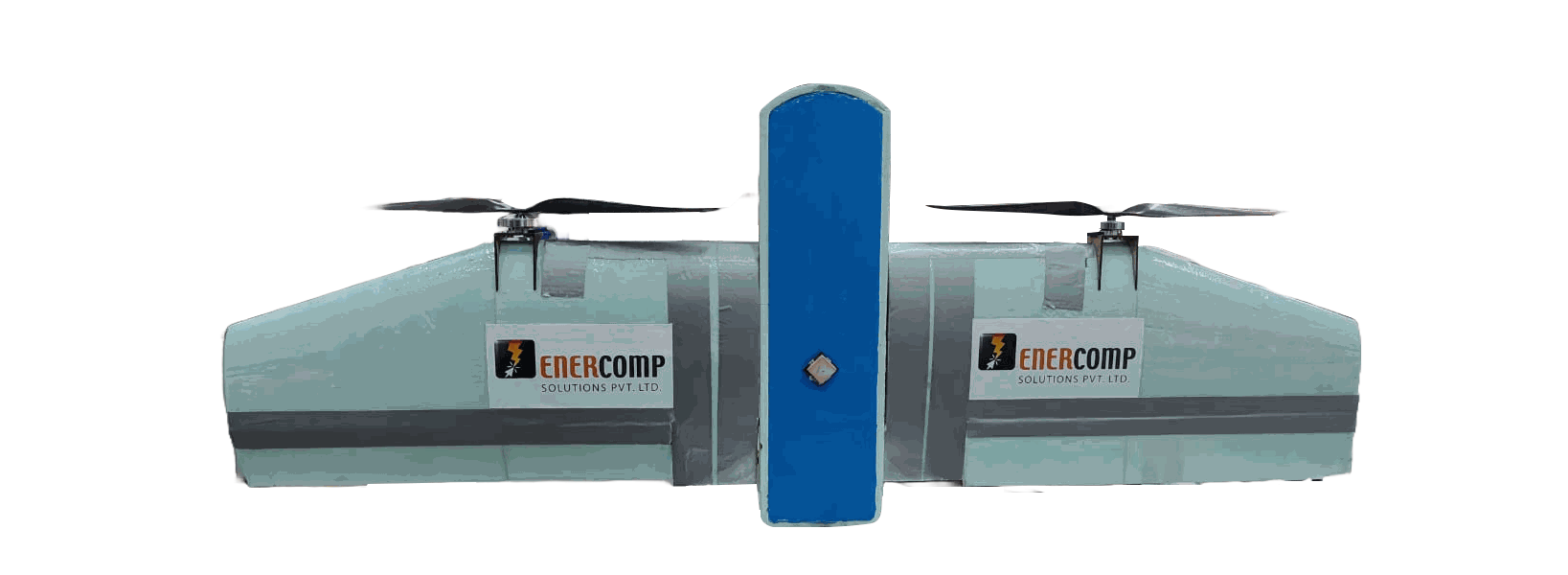
Endurance: Approx 90 minutes
Payload
:
1kg
Range : Approx 60km
Ceiling : 5000 meters AMSL
Mission : Designed for long-range surveying. surveillance, and aerial monitoring missions with VTOL flexibility.
View Details
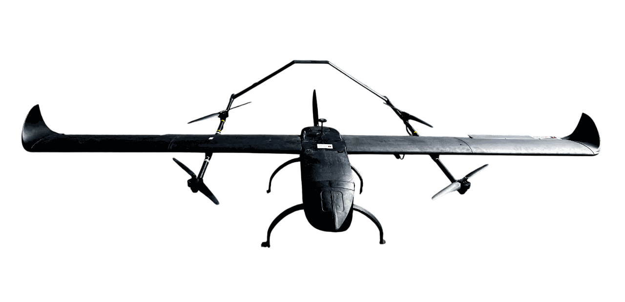
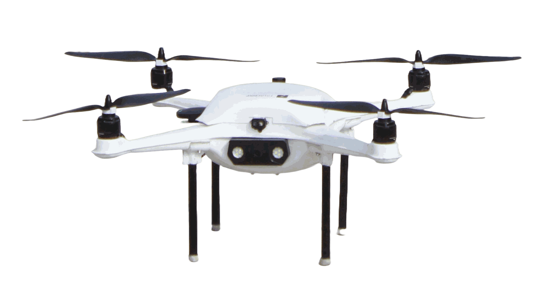
Endurance: Approx 30 minutes
Payload: 3kg
Range : 10km
Mission: Designed for heavy-duty surveillance, reconnaissance, and mission support operations.
View Details%20(1).png)
Endurance: Approx 120 minutes
Payload: 8kg
Range : 100 km
Ceiling : 5000 meters AMSL
Mission: Designed for logistics, surveillance, and survey missions with efficient VTOL capability.
View Details.png)
Endurance: Approx 120 minutes
Payload: 5kg
Range : 20 km
Ceiling : 5000 meters AMSL
Mission: Designed for surveillance, mapping, and logistics missions in challenging environments.
View Details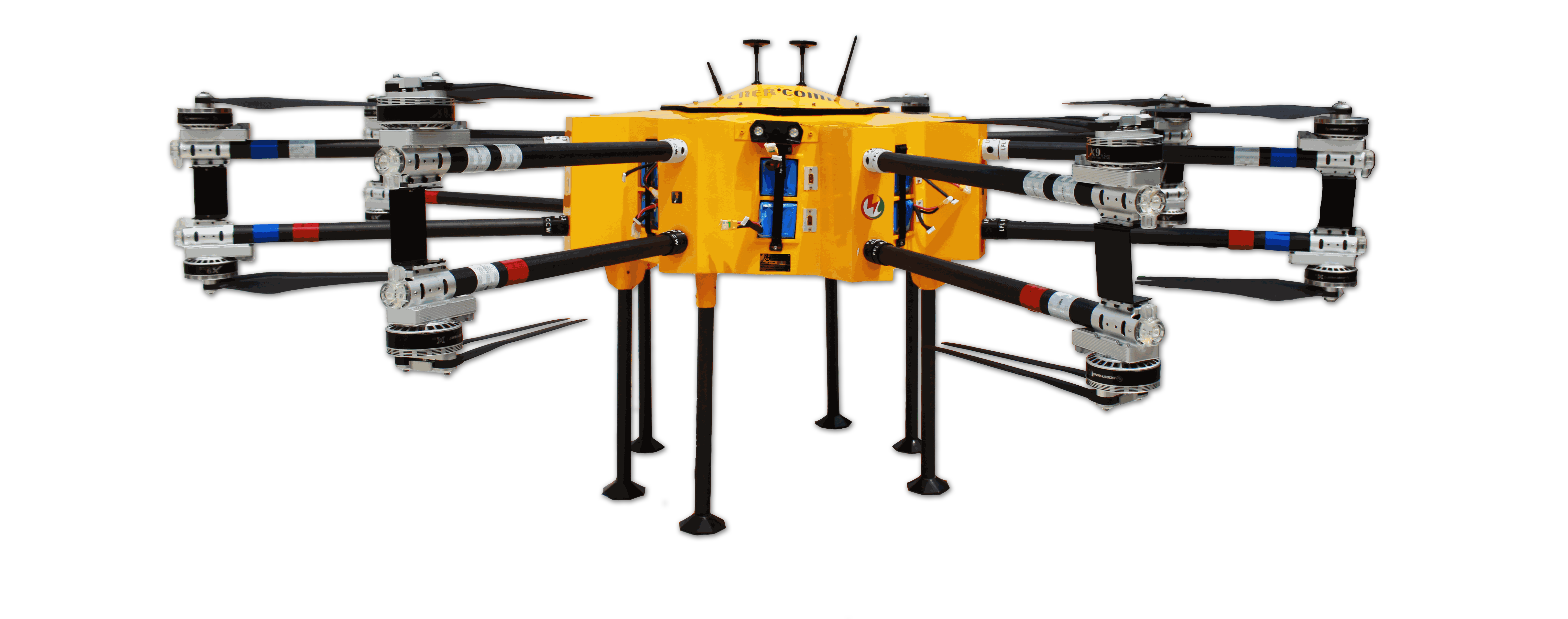
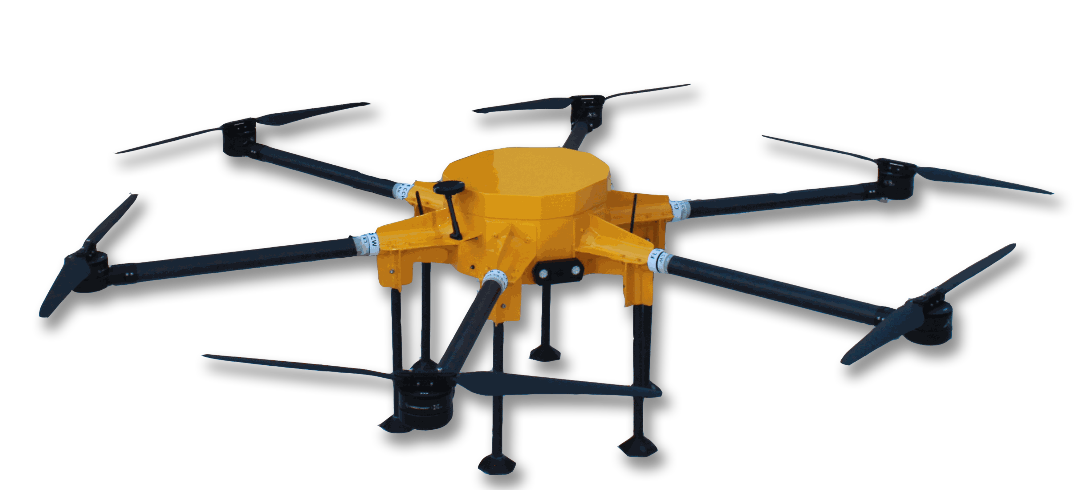
Endurance: Approx 30 Minutes
Payload: 45 kg
Range : 15 km
Mission: Designed for heavy-lift logistics and high-payload transport missions.
View Details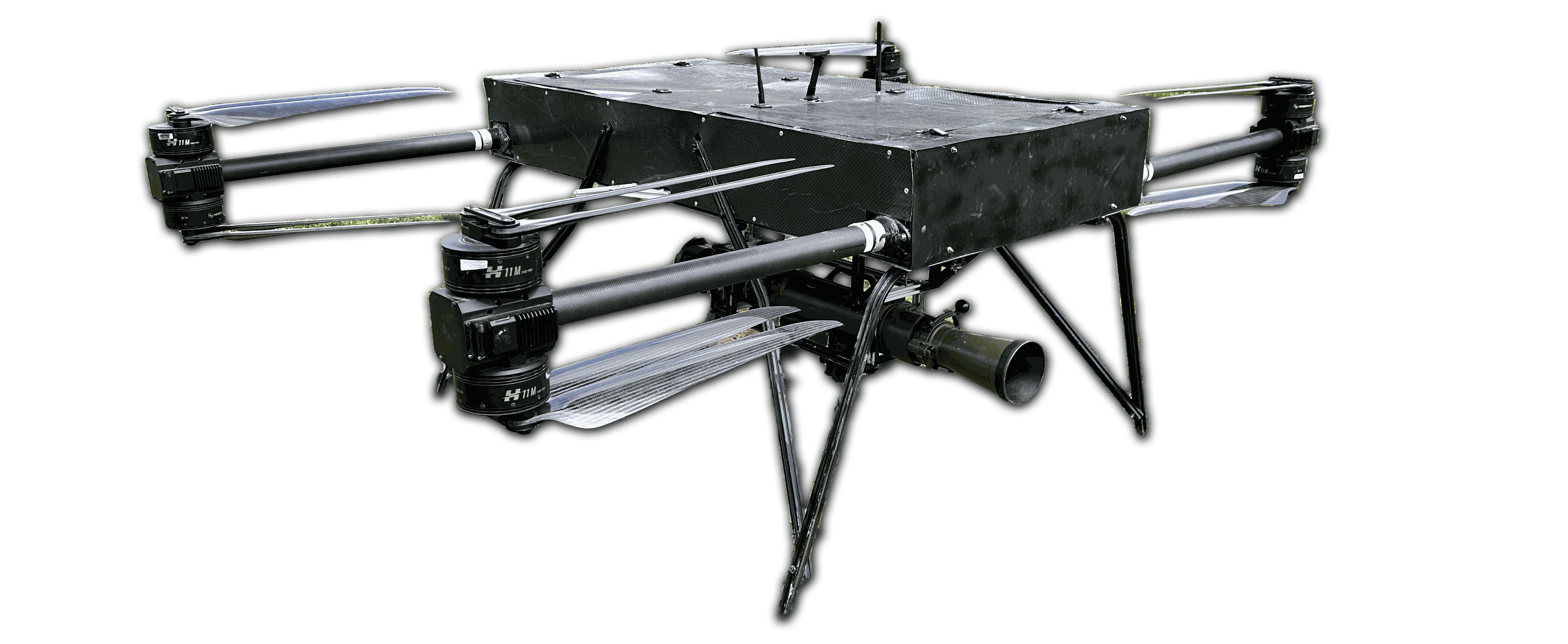
Endurance: Approx 60 Minutes
Payload: 45 kg
Range : 15 km
Mission: Designed for reconnaissance tactical support and combat operations.
View Details.png)
Endurance: Approx 45 Minutes
Payload: 50 kg
Range : 25 km
Mission: Designed for heavy-duty surveillance, reconnaissance, and mission support operations.
View Details.png)
Enercomp’s in-house 868 MHz transmitter ensures reliable UAV control with RC and Mavlink telemetry, 5 km range, rugged design, seamless GCS compatibility, and dependable mission-ready performance.
View Details.png)
Unleash precision and power with our in-house 60A ESC—engineered for drones, built on a robust FOC algorithm, and supporting up to 12s LiPo. Experience smooth PWM control and real-time CAN telemetry in a compact, high-performance package..
View Details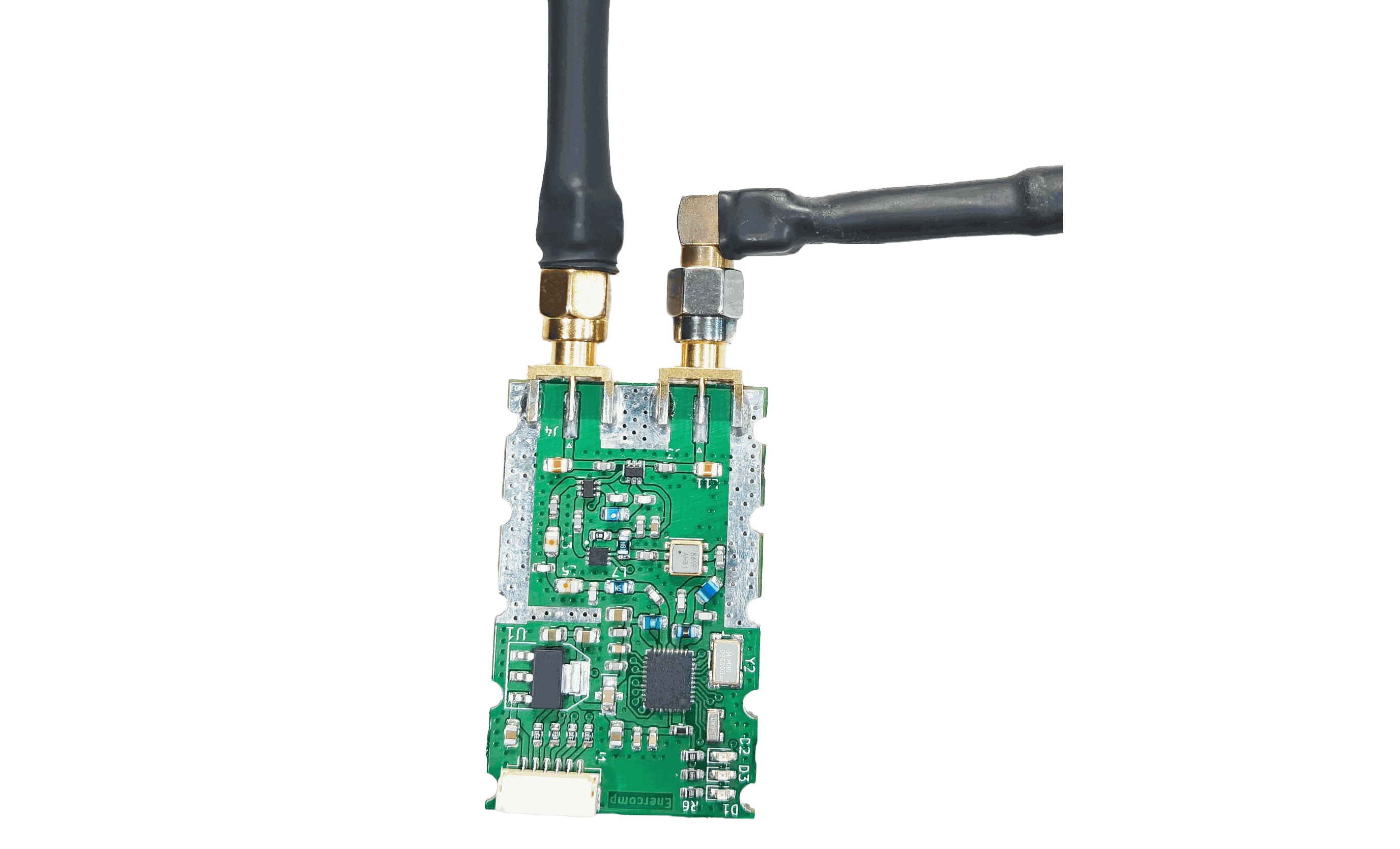
The Enercomp Telemetry Module is a high-performance, long-range communication system designed for UAVs and robotics. It provides robust connectivity between GCS and airborne platforms using frequency-hopping and error-correction techniques.
View Details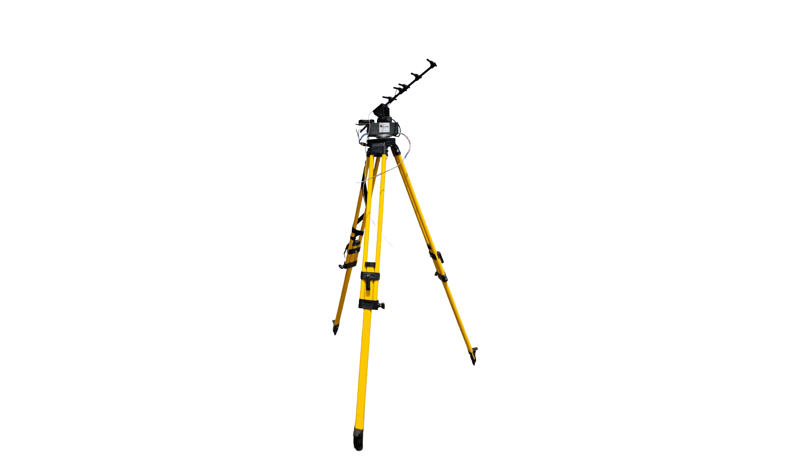
Enercomp’s Antenna Tracker ensures seamless UAV connectivity by auto-aligning high-gain antennas with real-time drone position, delivering extended range, stable signals, and reliable data integrity for mission-critical operations.
Who We Are
Enercomp Solutions Pvt. Ltd. is an Indian UAV technology company engaged in the design, development and manufacture of unmanned aerial systems and critical UAV subsystems. Our capabilities span VTOL and multirotor platforms, flight electronics, propulsion, navigation, communication systems, payload integration and aerial data solutions.

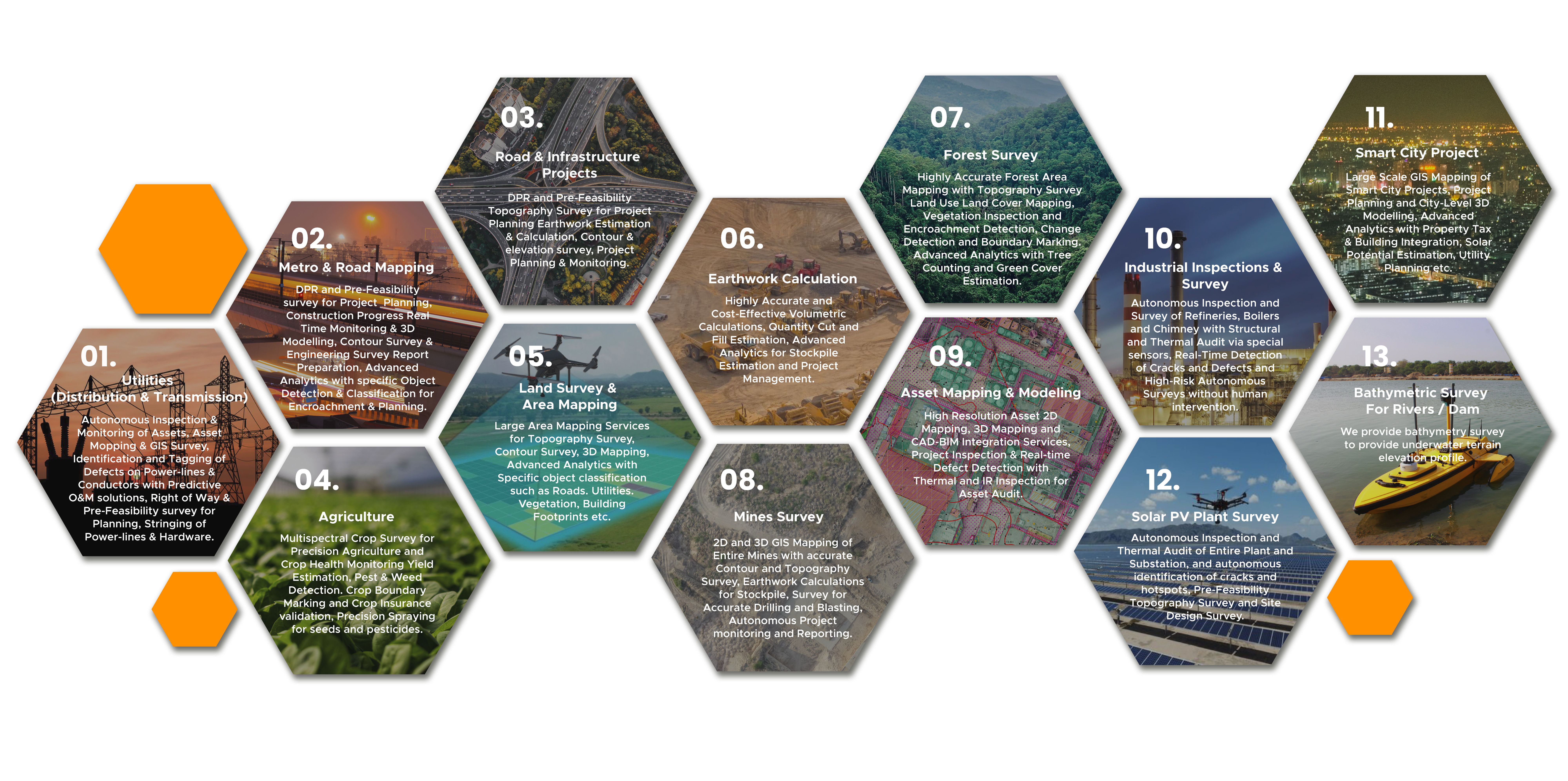
Initiatives like 'Housing for all' and 'Smart City Mission' has directed the growth of the infrastructure. Favorable valuation makes the sector an attractive opportunity. Our team provides efficient services for mapping, planning & analyzing the infrastructure ranging from roads & Railways to urban/rural settlement also analyzing the power station feasibility.
Know More
The diversity in data-types & variety of formats leads to many conversion challenges. Every software has a unique input file format, there is a constant struggle between data conversions if one is working in a different software environment. If some old data has to be updated in the GIS environment or using photogrammetry one has to convert the data from pictures to point cloud & 3d meshes, our team extends solutions for such challenges.
Know More
Crop health analysis plays a crucial role for not only farmers but also service sectors like insurance companies. Drone data can help in the analysis of crop health assessment with a precision of millimeters. Using different algorithms like NDVI & VARI can provide crop health analysis accurately.
Know More
UAV or Drones are nowadays evolving as the most accessible tool in the solar energy sector. Due to environmental conditions and logistical issues; the maintenance of solar power plants & windmills has always remained a challenge. Using drones one can speed up the maintenance process for energy & utilities. As drone imagery has GSD in centimeters defects can be identified easily. Thermal sensors add the layer of information drone imagery provides.
Know More















.png)