Roads & Railways with UAV
Roads & Railways
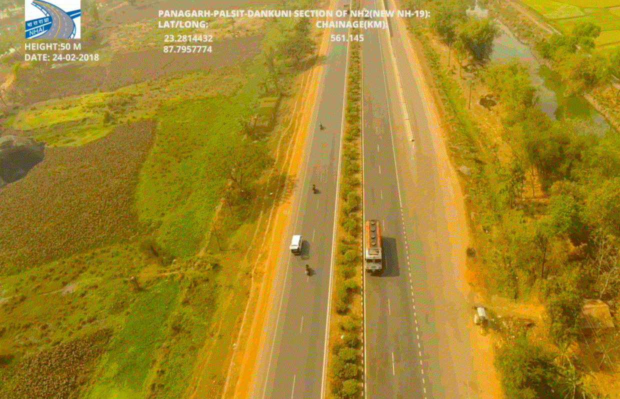
Railways and roads are vital transportation infrastructures and it is indispensable factor of the growth of a country, good connectivity is, that gets reflected from the economic growth of any country so Any structural failures need to be avoided at all costs through early detection and preventive maintenance.
Deliverables
-
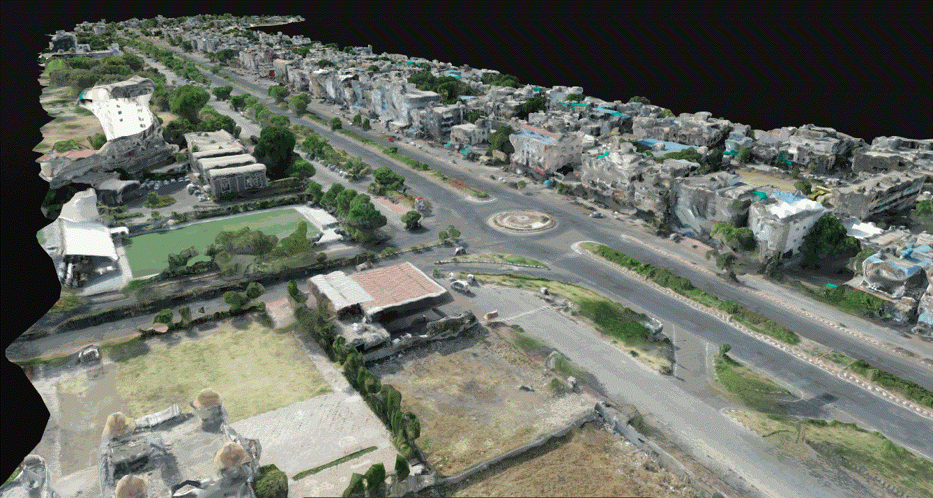
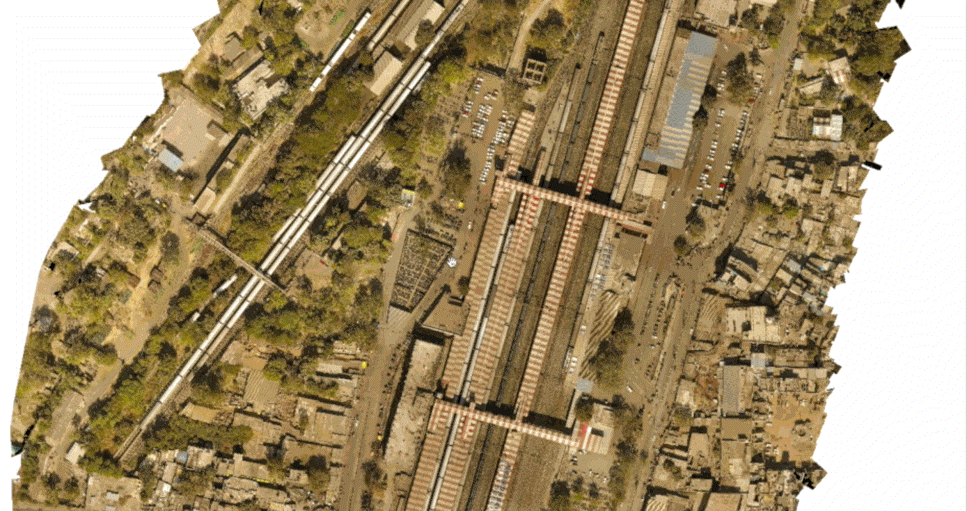
Topographical surveys
-
Local inspection of site
-
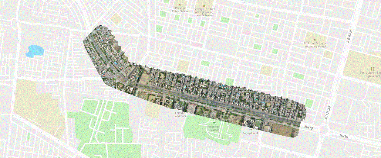
Map/Plan Overlay
-
Digital surface model with accurate elevation details
-
Compatible 3D Model with a point cloud and mesh data of the entire area with high accuracy
-
Digital terrain model with contours at cm level interval
-
Maintenance and monitoring of the network
-
Monitoring during the construction phase
Why We?
-
Every centimeter of any railway track can be digitized with Orthophoto, measured and inspected with automated visual and thermal inspections for teams collaborating across functions and geographies.
-
Our Drone solutions offering authentic real time information.
-
Our service team can fly drone in a periphery of vast radius just standing at a point on ground in no time which is not possible for a manned team
-
Our services do not require the workforce to work at heights thereby reducing safety issues
-
The work of estimating earthwork which a team of surveyors could have completed in more than a week’s time, can be completed in just two days with more accuracy while utilizing our services
-
We provide high-definition footage of site including pictures and videos, these videos can also be live streamed